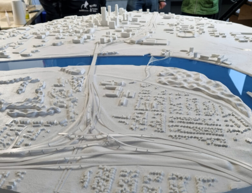
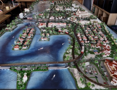
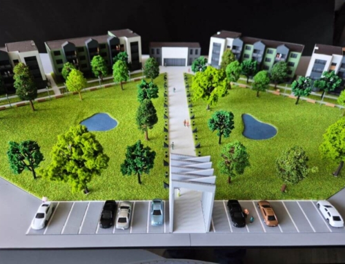
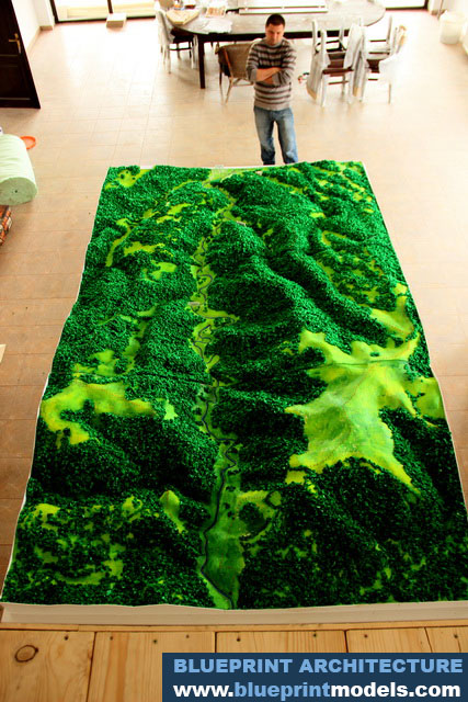
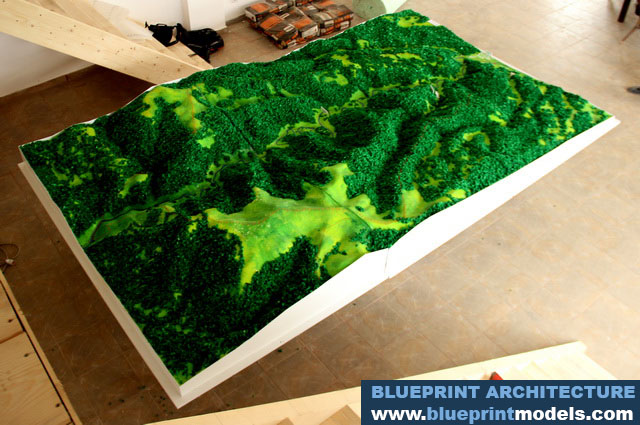
Project Description

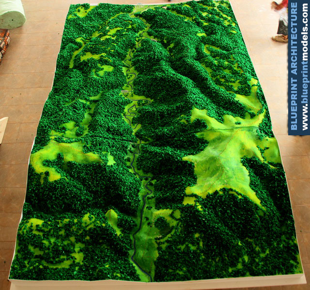

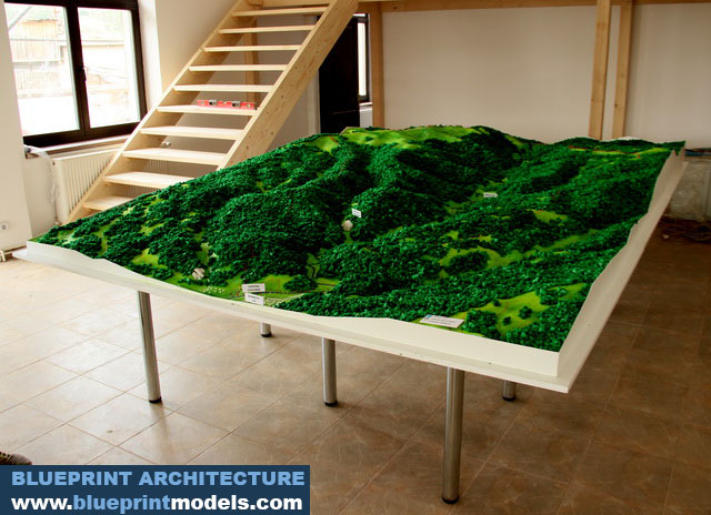
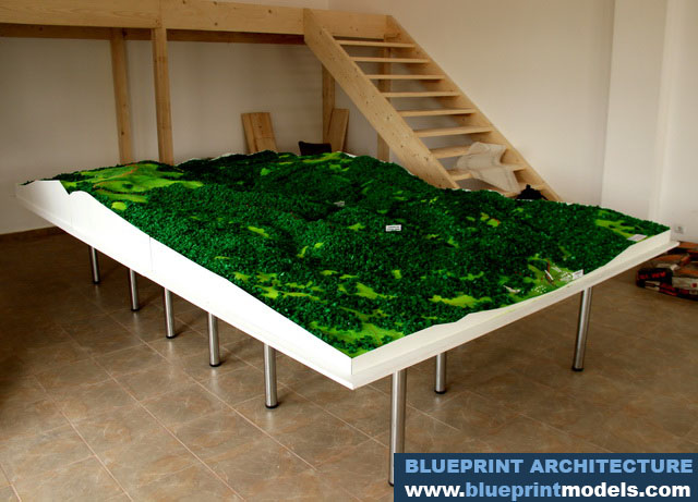
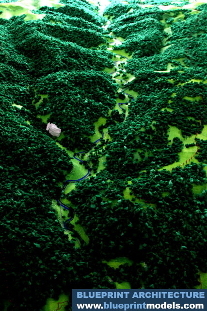
This is a large-scale topographical architectural model representing a mountainous terrain.
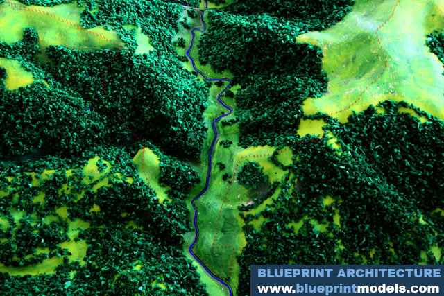
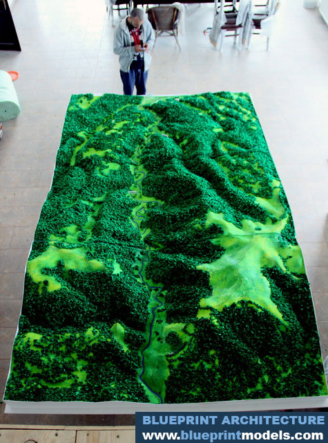
- Topography: The model vividly displays significant changes in elevation, with high, steep peaks and deep valleys, accurately representing a rugged mountain landscape.
- Vegetation: The majority of the surface is covered in a dense, dark green texture, simulating lush, thick forest cover. Patches of lighter, brighter green indicate open clearings or pastures.
- Hydrology: A prominent river is visible, winding its way through the valley floor, depicted in a dark blue color. This emphasizes the natural drainage pattern of the area.
- Scale and detail: The model is impressive in its size and detail, suggesting it was built for a major project, for regional planning, environmental studies, or a large-scale architectural development that integrates with the natural environment.
- Aesthetic: The combination of realistic green textures and pronounced three-dimensional relief gives the model a highly realistic and dramatic appearance.
The vast majority of the model is blanketed in a rich, dark green texture, meticulously crafted to simulate dense, coniferous or mixed forest. The use of varied textures adds realism to the woodland areas.
Contrasting sharply with the deep green forest are the lighter, more vibrant green patches. These represent open valley floors, meadows, or pastures, showing areas where the topography is gentler and vegetation is less dense.
A critical element is the prominent sinuous river channel winding through the lowest elevations of the valley. Rendered in blue, it accurately illustrates the drainage basin and how water naturally shapes the land.