Project Description
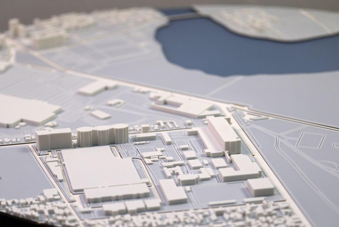
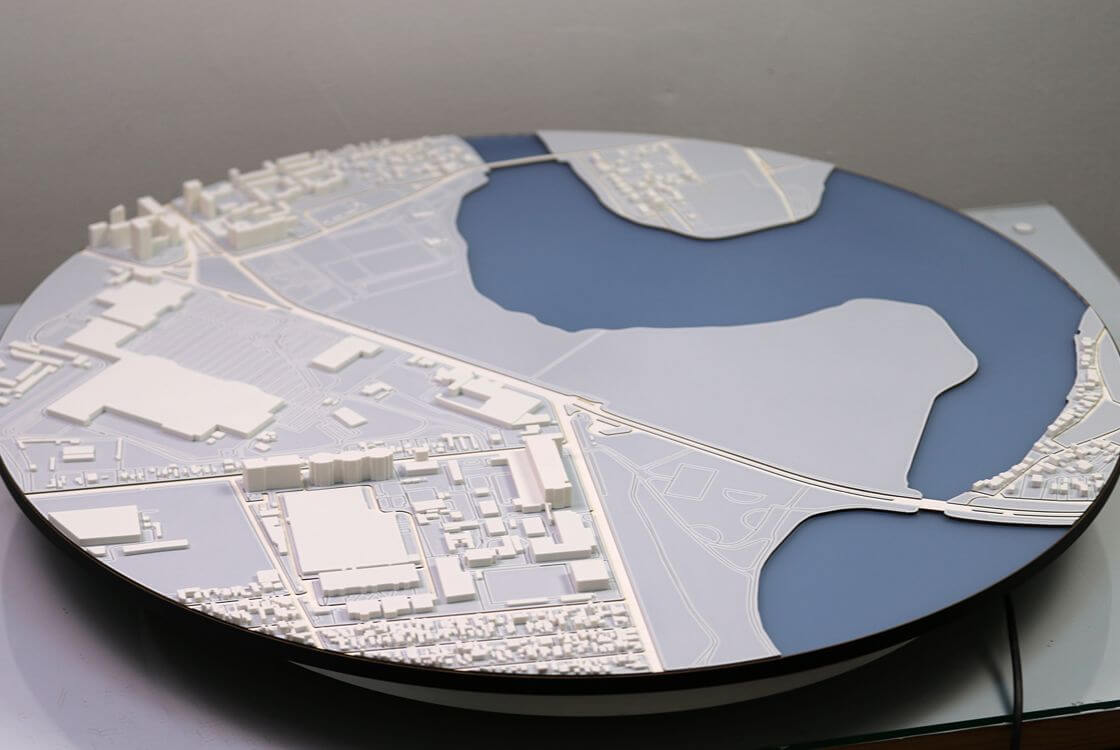
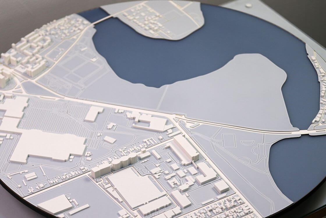
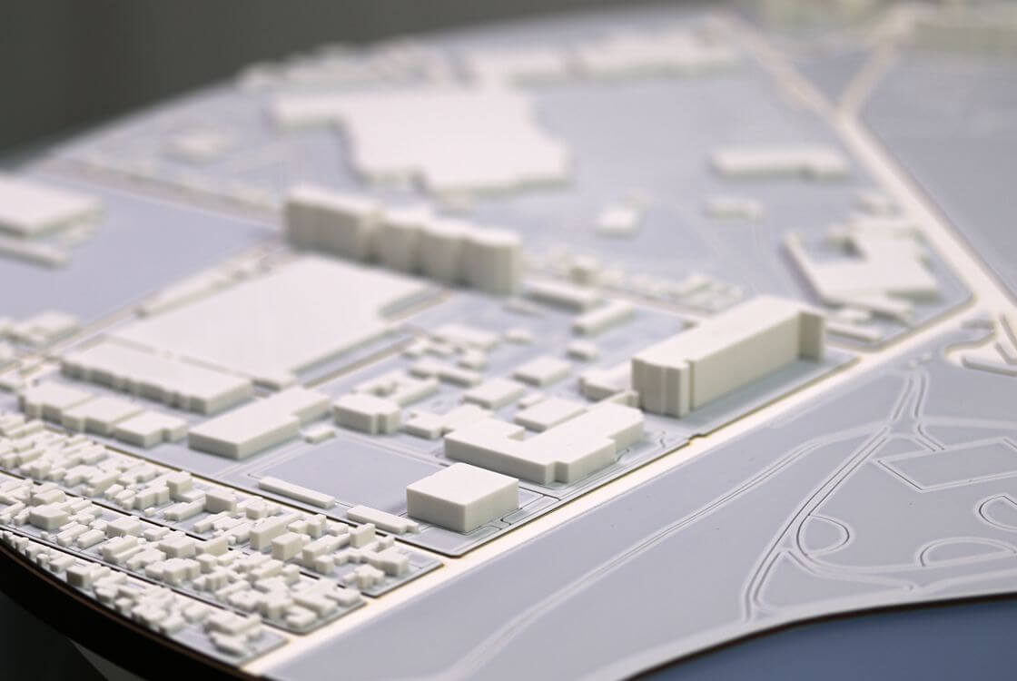
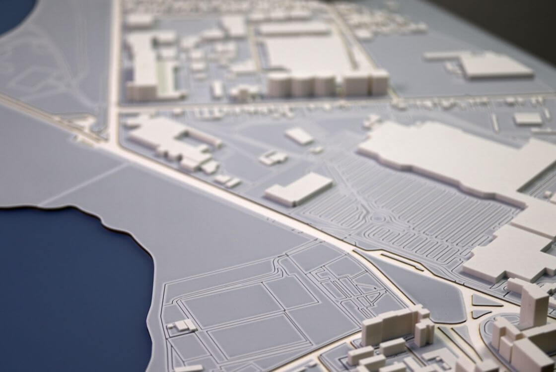
This architectural scale model presents an urban area, illustrating how buildings, road infrastructure, open spaces, and natural features are integrated into a coherent urban environment. Through the representation of building volumes and the overall layout of the site, the model provides a comprehensive overview of the area’s spatial organisation and the relationship between the built environment and the surrounding landscape.
The buildings are represented as simplified volumes, allowing their arrangement, building density, and the overall structure of the area to be clearly understood. The road network and access routes highlight the connections between different parts of the urban layout, while the water features and open spaces help communicate the geographical context and the organisation of the surrounding territory.
With its schematic approach, the model emphasises spatial relationships, urban configuration, and the integration of buildings within the landscape, without focusing on individual architectural details. This makes it a valuable visual tool for communicating urban planning concepts, supporting architectural presentations, and illustrating urban development proposals.
Created to provide a clear and intuitive understanding of an urban environment, the model enables architects, urban planners, developers, and other professionals to explore the organisation of an area and the relationships between its defining elements.